By: Dr. Ryan O’ShaughnessyEach fall, as quail hunting season approaches, the Rolling Plains Quail Research Foundation (RPQRF) takes to the skies to assess quail populations across the Rolling Plains. Helicopter surveys have become an important tool in our research, providing estimates of quail abundance, covey size, and distribution. However, as technology advances, we are increasingly asked: Could drones equipped with thermal cameras provide a more efficient and affordable alternative?
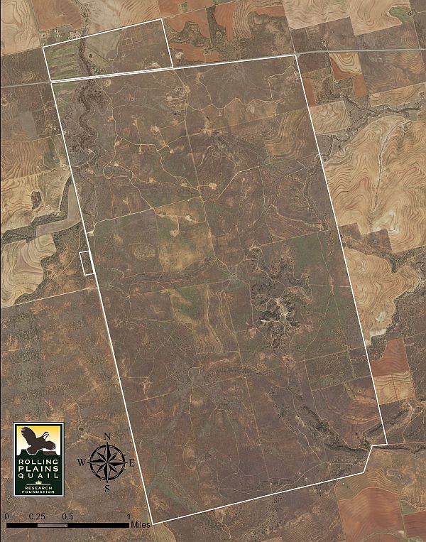
This November, RPQRF will partner with ProTex Wildlife Services to investigate that very question. Using thermal-equipped drones, we will survey areas for which we have recent helicopter survey data, allowing us to compare results and evaluate the potential of this emerging technology.
The advantages of drones are compelling. Operating costs are generally lower than those of helicopters, and drones eliminate the need to place observers in low-flying aircraft. Thermal cameras detect differences in heat signatures, potentially allowing operators to locate quail that might otherwise be concealed by vegetation. Drones can also collect georeferenced imagery, creating a permanent record that can be reviewed and analyzed.
However, there are significant challenges. Quail are relatively small birds, and detecting individual birds or entire coveys beneath dense vegetation may prove difficult. Thermal imaging is influenced by ambient temperature, solar radiation, vegetation cover, and time of day. A warm rock or patch of bare ground may resemble an animal’s heat signature, while dense brush may completely obscure birds from view.
Another concern is the behavior of quail in response to drones. Helicopters typically flush birds, allowing observers to count individuals as coveys take flight. Drones may not consistently produce the same response, potentially making it difficult to determine covey size or distinguish quail from other wildlife. Battery limitations, flight restrictions, and the time required to survey large properties also present practical obstacles.
Importantly, detecting quail is not the same as accurately estimating their abundance. Any new survey technique must account for birds that go undetected and demonstrate consistent, repeatable results.
Our November trials will provide an opportunity to evaluate detection rates, covey counts, operational costs, and survey efficiency relative to our established helicopter methods.
Will drones eventually replace helicopters? Perhaps, but it is equally possible they will become a complementary tool, particularly for smaller properties or targeted research applications.
At RPQRF, our objective is not simply to embrace new technology, but to determine whether it provides reliable, scientifically defensible information. We look forward to sharing what we learn as we explore this exciting new frontier in quail research.